
 Italiano
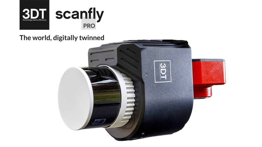

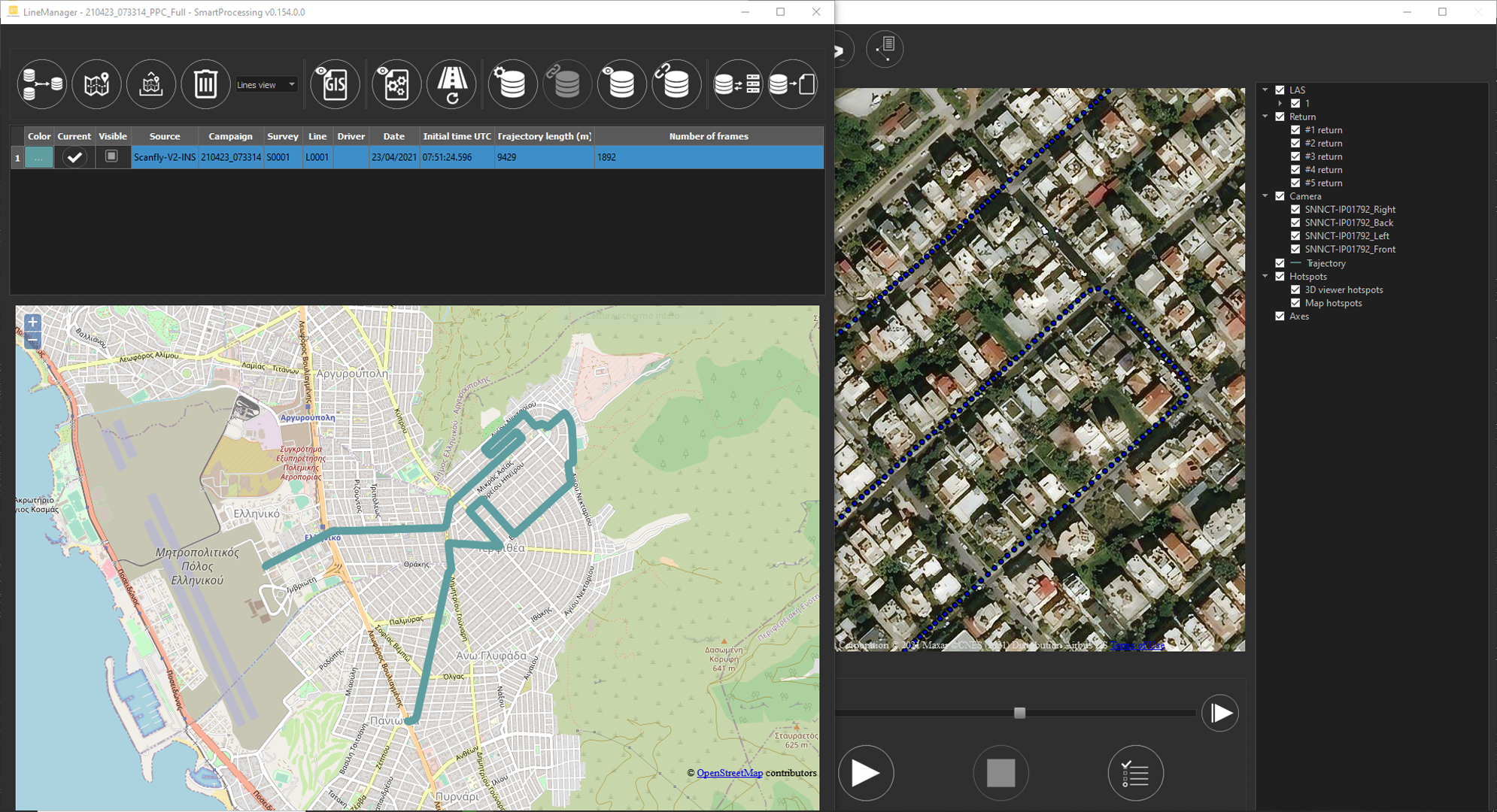
SmartProcessing
SmartProcessing is the most advanced mobile mapping data analysis tool in the market today. Developed from 3D Target’s experiences in road asset management projects, the software has evolved to accept inputs from multiple sensors and handle large datasets.
Key benefits
- Multi-platform data import plugins
- Efficient navigation into billions of points
- Advanced AI feature extraction algorythms
- Dedicated road asset management tools
- Configurable export formats
- API & SDK available for 3rd party application
Simply mobile
Mobile mapping systems allows collecting huge amount of information quickly and efficiently in the forms of LiDAR point clouds and images. The bottleneck often lays in their navigation and post-processing.
SmartProcessing organizes the data in a form that makes it possible opening multiple projects of billions of point clouds and browsing into them in a flash.
Dedicated AI tools, specifically developed according to the customer’s need, enable extracting the significant features and information in the fully configurable tables of a geospatial database.
All mobile mapping systems can be supported.
SmartProcessing Core
SmartProcessing is designed to run under Windows 10 and can be operated in a server environment. Licensing model supports node-locked and detachable network seats. The AI tools require separate licenses and are completely modular. Without a license, the software runs as a Viewer for the projects already created: sharing geospatial information made easy!
- Mobile mapping data import
- Content manager to handle imported survey lines
- Player, to browse the point cloud and images efficently
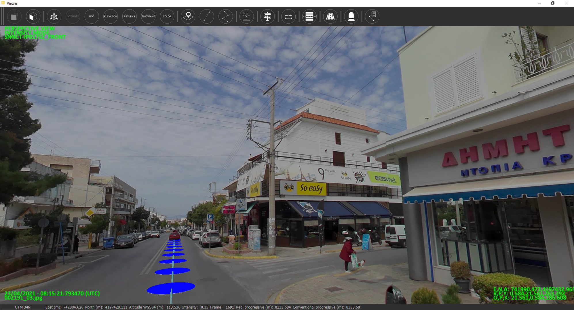
- 3D Viewer for point clouds with calibrated images overlay
- Manual camera boresight calibration
- Measurement tools
- Points and polylines extraction in GIS database
- Points and polylines extraction in interchange database
- Interchange database edit tool
- Link different interchange database to a given project
- Interchange database viewer
- Interchange database query with filtering and sorting functions
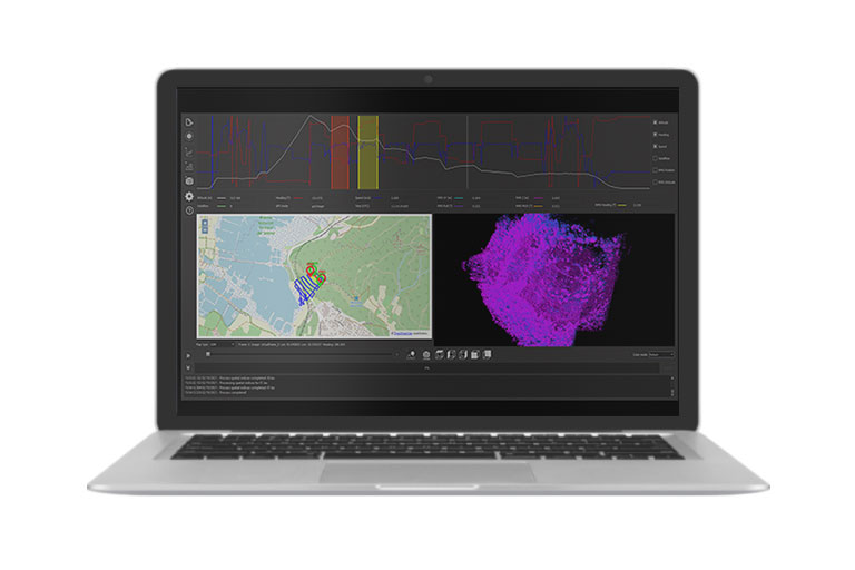
Software screenshots


Road Geometry Tool
- Road code and axis definition
- Distance reference support
- Reverse engineering of the road design
- Cross sections and road margins extraction

Road Signs Tool
- Automatic segmentation and classification of road signs
- Use road signs as milestones
- Full geometric analysis
- Automatic recognition of road signs support poles


Road Markings Tool
- Automatic extraction of road markings
- Road axis creation from extracted road markings
- Advanced editing functions
- Quaility assessment: reflectivity, dimensions, position

Road Barriers Tool
- Semi-automatic extraction
- Concrete and steel traffic barriers supported
- Full geometric analysis
- Quality assessment


Road Pavement Tool
- Full support of Pavemetrics LCMS
- Full support of road profilers
- Calculation of road pavement quality indexes
- Quality indexes overlayed to point clouds and maps
Related products

The dual lidar solution for 3D Lidar scanning. Perfect for Mobile Mapping applications. Recommended speed up to 100 Km/h.

EVOlution - Map effortlessy with Scanfly EVO! THE MULTI-PLATFORM MAPPER

Redefine mapping: anytime, anywhere with Scanfly PRO! THE MULTI-PLATFORM MAPPER
The software to produce your point clouds with just a few clicks.