
 Italiano
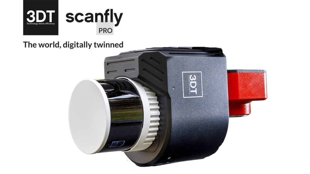

Scanfly Web App
Web App is the Scanfly integrated application software. Running on a web server, it enables full control and monitor of the Scanfly operations at your fingertips.
Key benefits
- Advanced graphical interface
- Monitor the status of all the integrated subsystems (GNSS/IMU/Lidar/Cameras)
- Easy configuration with dedicated presets
- Full control of the data acquisition
- Quality check at the end of the surveys
Easy-to-use
The Web App is one of the keypoints of the easy-to-use motto of the Scanfly philosophy.
All the information that you need is presented intuitively,
Configurator tab allows configuring Scanfly for the use on the different vehicles and mounting brackets with minimal effort and estimating the resolution of the data.
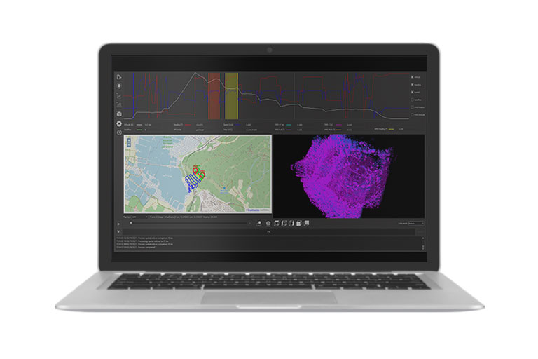
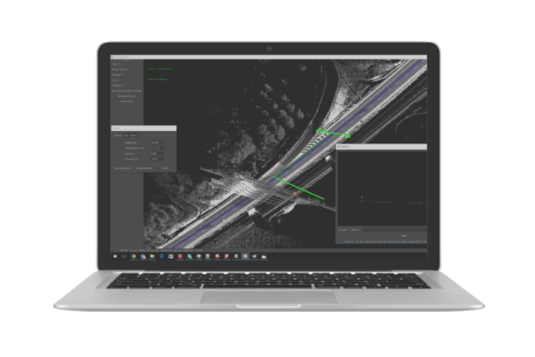
Also, check the quality of the trajectory from the navigation system at a glance in the Survey tab and, at the end of the survey, verify the integrity of the data before starting the post-processing with the Dataset tab.
Everything is just one tap away!
At your fingertips
Compatible with all the common web browsers, the Web App enable the full control and monitoring of your Scanfly from your tablet, smartphone or the bigger screen of your laptop. No dedicated app required!
- Quick system initialization
- Easy configuration with dedicated presents
- Car, UAV and backpack dynamic modes
- Installation parameters
- Full LiDAR configuration
- Full control of the camera parameters
- Intuitive sensor status indicators
- Real time position and attitude
- Camera preview
- Quality check and data recovery
- Full control of the datasets stored in the internal storage
- System shutdown
Related products
The software to produce your point clouds with just a few clicks.
Advanced mobile mapping data analysis tool.
Increase the longitudinal resolution at higher speed. A perfect fit for land vehicle installation. Recommended AGL up to 85 m.
More range and resolution. Ideal for land, marine, and aerial applications. Recommended AGL up to 140 m.
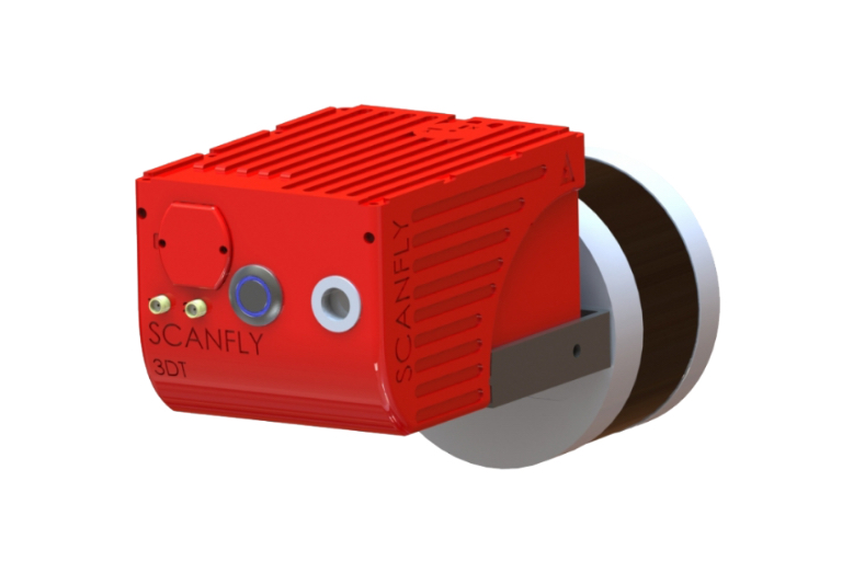
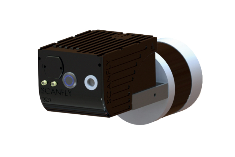
The entry-level, cost-effective lightweight solution for 3D Lidar scanning. Perfect for UAV mount. Recommended AGL up to 70 m.