Italiano

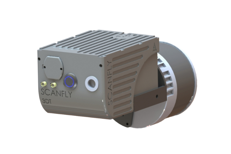
Scanfly ULTRA X
Triple return and up to 300 m range in the most accurate Scanfly evolution.
Powered by the brand new Hesai XT32M2X
Applanix INS (IMU/GNSS)
Multi-constellation GNSS receiver (GPS/Glonass/Beidou/Galileo/
QZSS/SBAS/L-Band)
Integrated board to control,
acquire and synchronize sensors
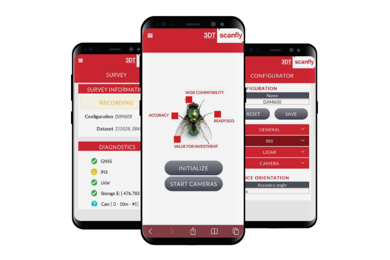
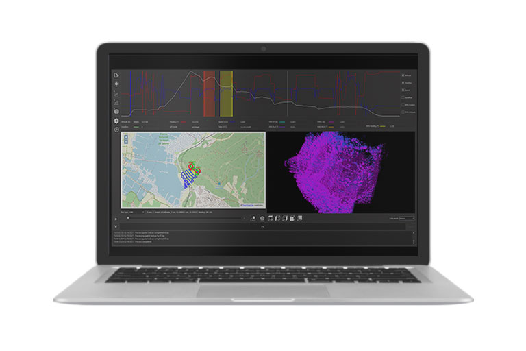
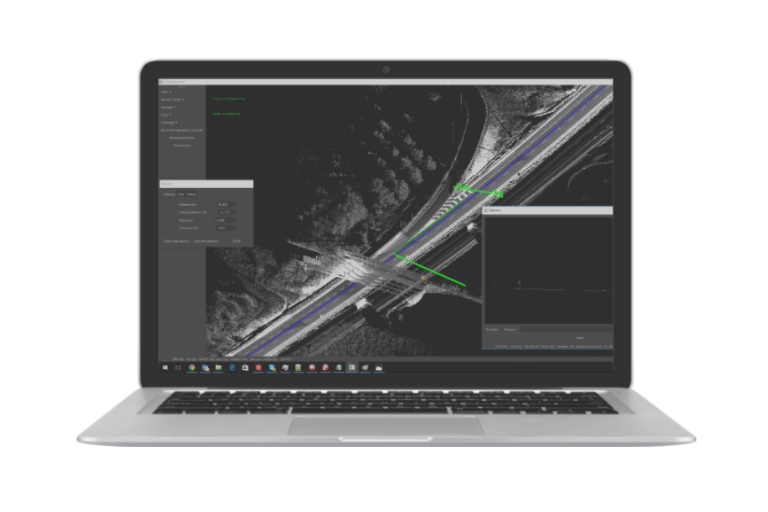
Software: SmartProcessing Lidar for data fusion
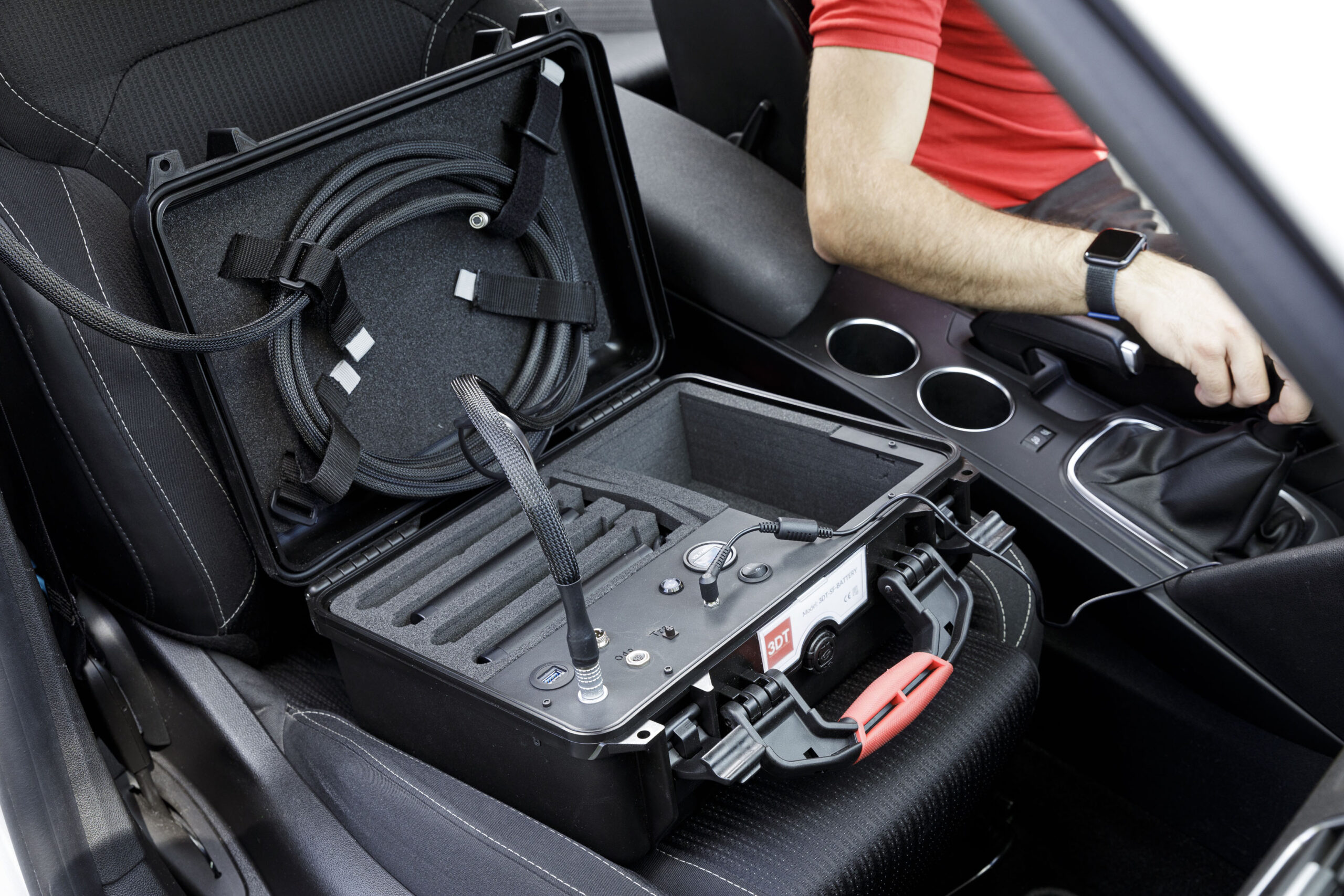
Carry case
Customized mounting interface
Easy installation on any vehicle
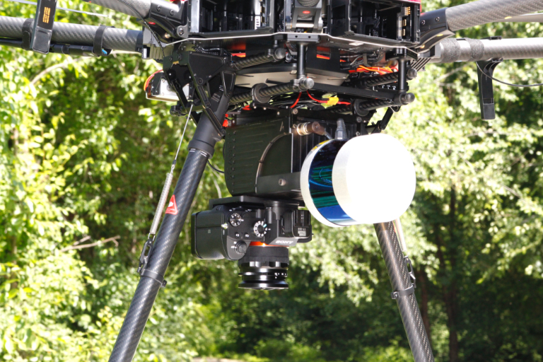
24-42 MP RGB camera
Multisensor integration interface
60.5 MP panoramic camera
Boresight calibration tool
Ground control points and strip alignment tool
CE Marking
Ingress Protection IP55
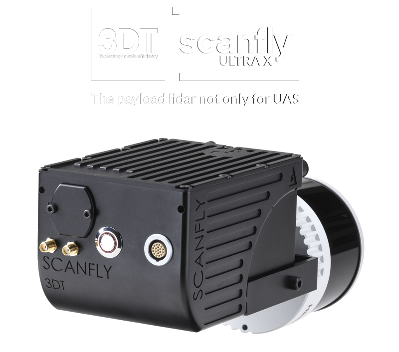
Scanfly ULTRA X
THE LONG-RANGE MAPPING SYSTEM WITH NO COMPROMISES
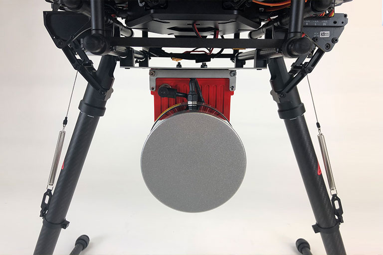
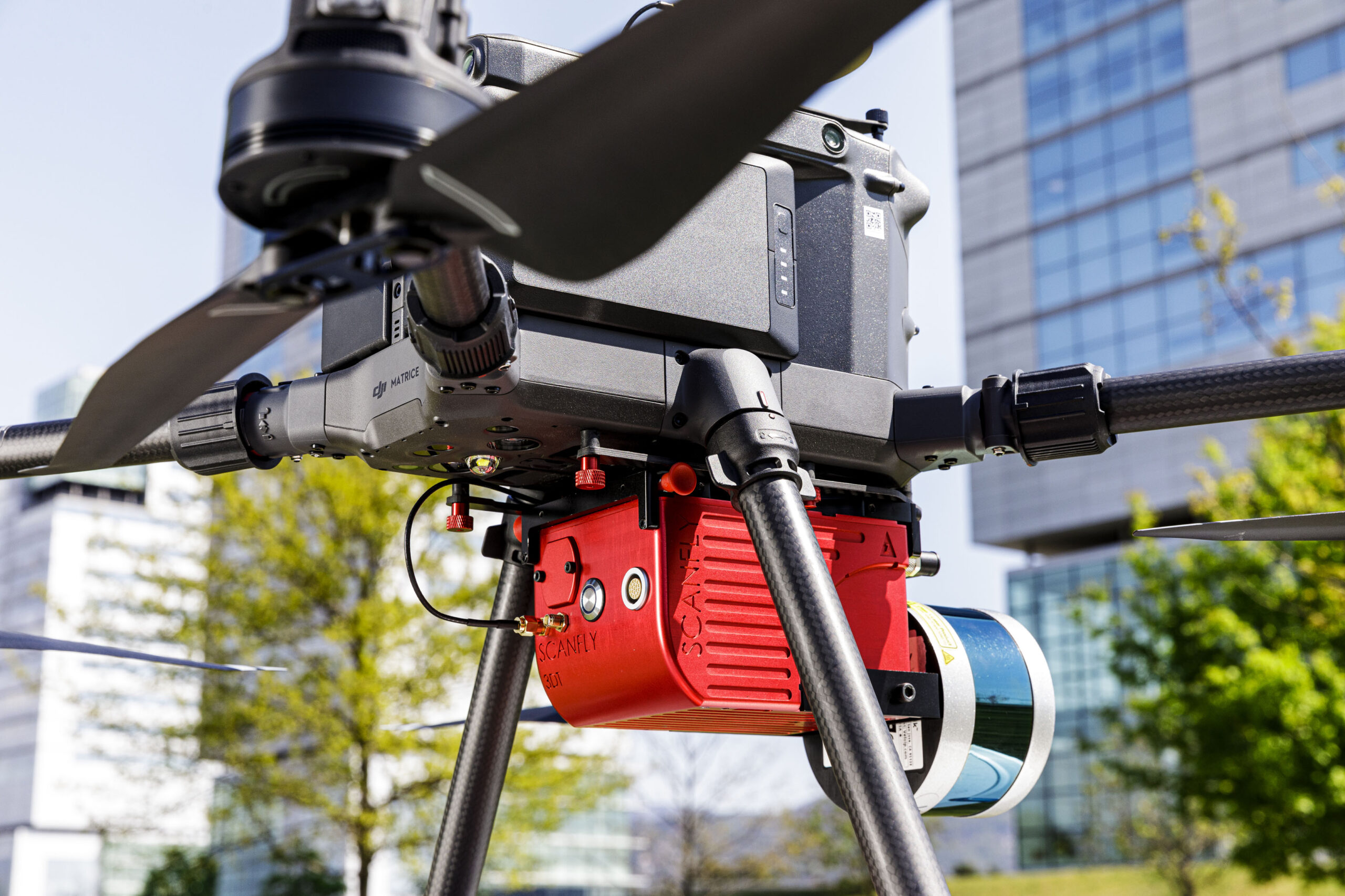
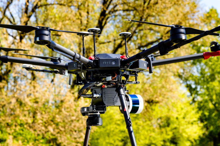
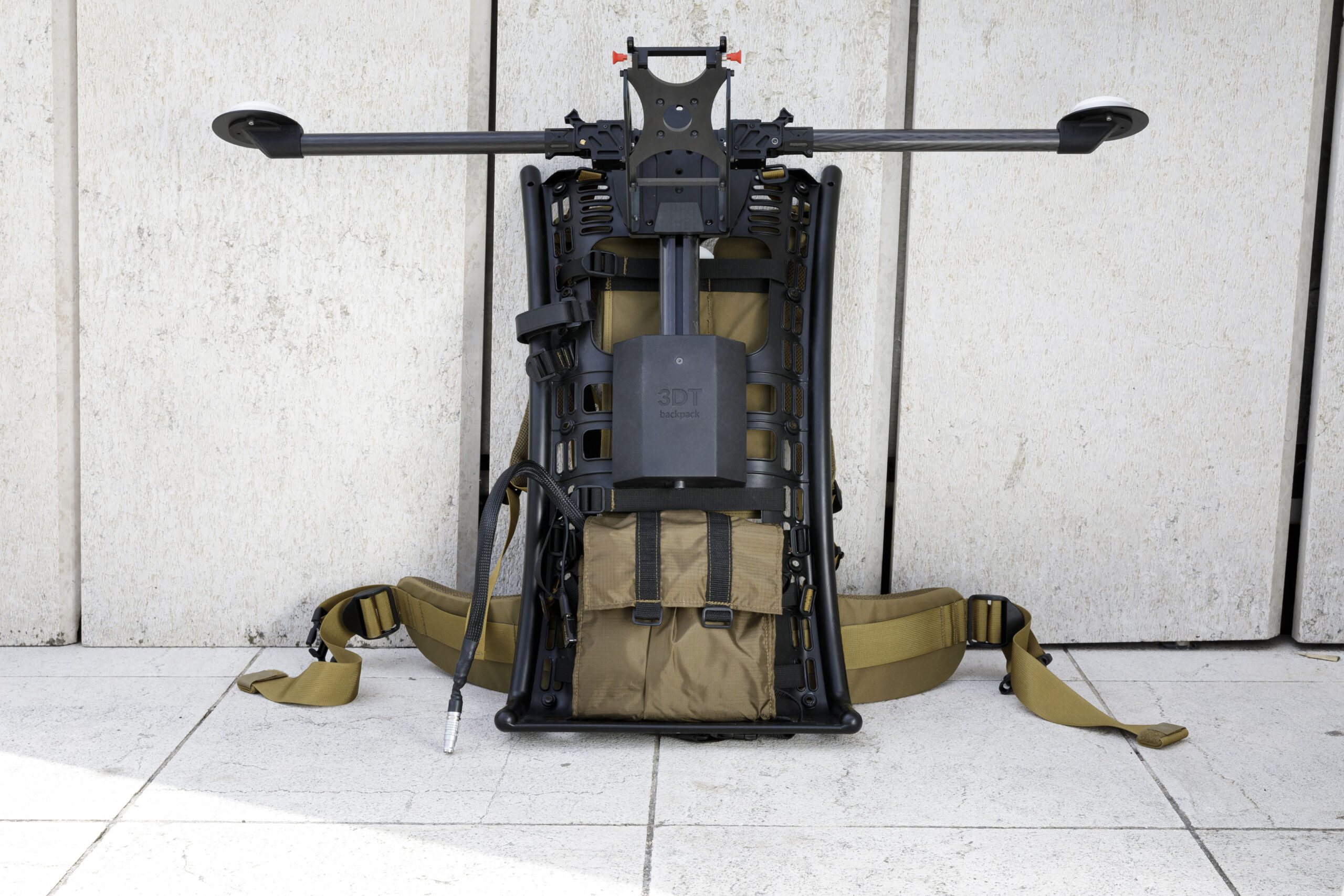
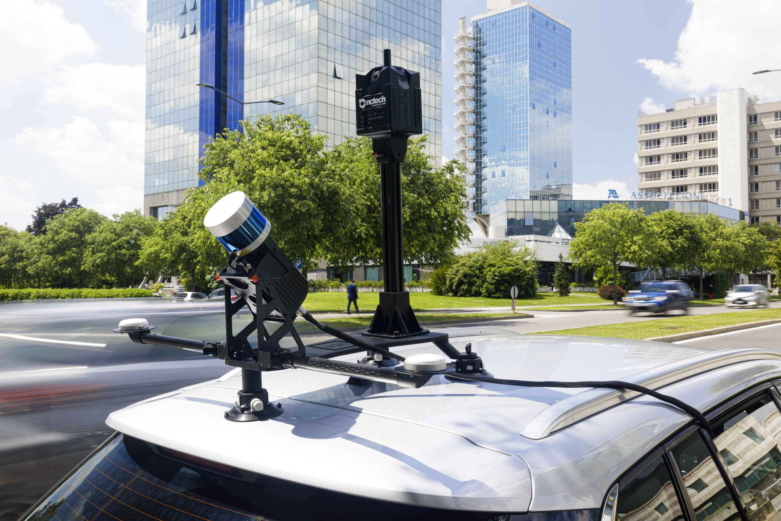
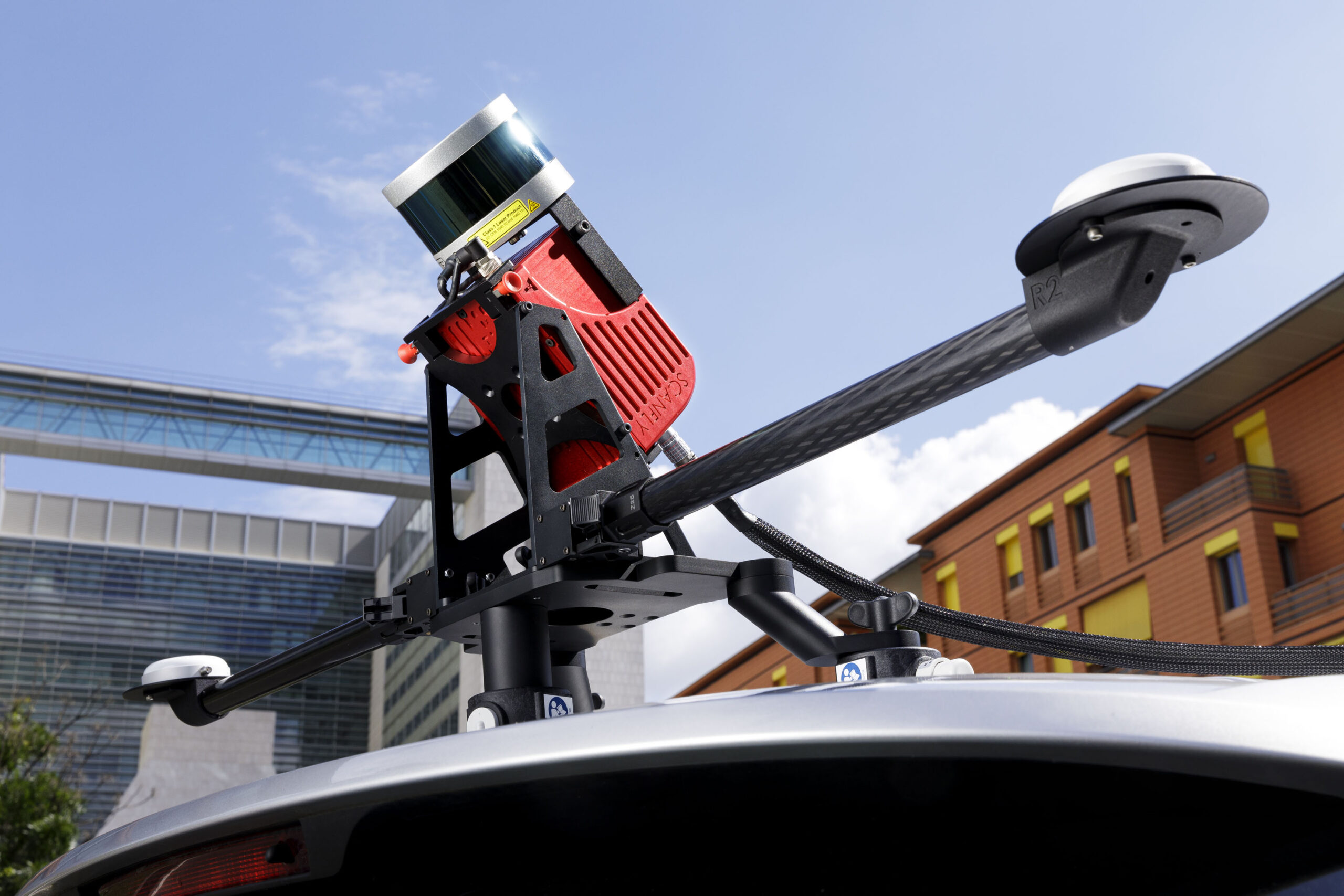
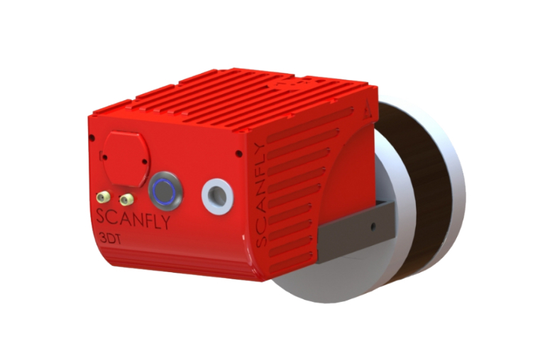
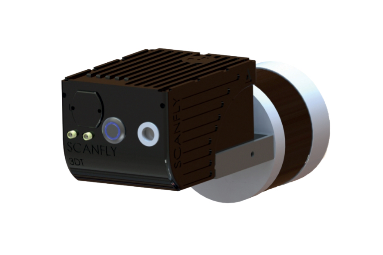
Based on the Hesai XT32M2X, Scanfly ULTRA X introduces the triple returns and extends the range up to 300 m on its 32 profiles, making it the perfect mapping machine. With a weight contained at 1.49 kg, Scanfly ULTRA X is the perfect choice to increase productivity when mapping with a drone.
The payload lidar not only for UAS
Technologies
- Hesai XT32M2X Lidar
- Applanix APX-15L INS
Lidar integration
- Multirotor drone
- Helicopter drone
- Backpack mount
- Car mount
Key features
- 300 m range
- High resolution
- Calibrated reflectivity
- Triple return
Technical details
Code 3DT-SF-v2-ULTRAXa Lidar Head Hesai PandarXT-32M2X Weight 1.48 kg Dimensions 229 x 131 x 108 mm Ingress Protection IP 55 (CE) Scan Rate Up to 1 920 000 pts/sec Range up to 300 m Point Cloud Accuracy 5 cm Precision 3 cm Storage Internal 512 GB, Upgradable to 1 TB Connection Ethernet, Wi-Fi Software Scanfly Web App, SmartProcessing Lidar, SmartSurvey Scanfly (optional)
Product dimensions

In the box
Hardware
- Scanfly ULTRA X
- Multi-pin cable
- Quick release mount
- Wi-Fi Tranceiver
- Ethernet adapter
- USB flash drive